Meet the 2025 CAC Top Apps Winners presented by theCoderSchool
Selected by theCoderSchool from nearly 400 district-winning apps nationwide, these Top Apps projects represent some of the strongest technical work, most inventive ideas, and most meaningful real-world impact in this year’s Congressional App Challenge. Each project was originally recognized as a district winner by a Member of Congress and later selected by theCoderSchool through a deeper national review for its technical sophistication, creativity, and potential to solve real problems.
As an additional recognition led by theCoderSchool, the public voted for their favorite Regional Winner. theCoderSchool announced its selection for the National CAC Top App at #HouseOfCode in Washington, D.C. on April 21.
National Winner

BoostT1D
Aaron Prager
MA04 – Jake Auchincloss
Regional Winners

South Regional Winner
VERDIS
Ron Minin, Bosco Qiu, and Abyudh Mukkavilli
TX03 – Keith Self
VERDIS helps North Texas farmers monitor crop health by surveying large fields with a custom-built quadcopter equipped with an infrared camera. The app computes NDVI from stitched orthomosaic imagery to generate field-wide health maps, then uses a fine-tuned convolutional neural network to identify specific crop disease strains. It also provides personalized guidance for unhealthy yields while costing a fraction of many commercial solutions. A prompt-engineered large language model helps farmers interpret results and respond to detected diseases.
Midwest Regional Winner
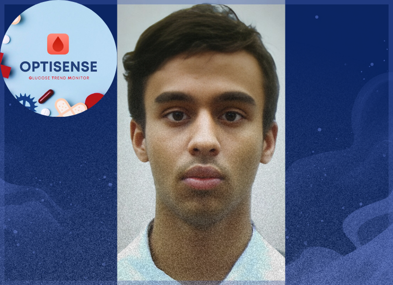
OptiSense
Tanish Asesa Reddy Dorasani
MO01 – Wesley Bell
OptiSense helps users monitor blood glucose trends using a combination of sensors that analyze data and notify the user when levels fall dangerously low. The system is designed to be inexpensive and easily producible so more people can access non-invasive glucose monitoring, even in low-resource settings. Unlike traditional monitors that require drawing blood, OptiSense uses a MAX30102 optical sensor connected to a Nordic nRF52840 microcontroller to collect and interpret glucose-related data. The device sends information via Bluetooth to a Swift-based mobile app that displays glucose trends and alerts users when they may be at risk.
East Regional Winner
BoostT1D
Aaron Prager
MA04 – Jake Auchincloss
BoostT1D helps people with Type 1 Diabetes better understand their glucose data through AI-powered carb and insulin dose estimation from food photos and current blood glucose levels. The platform also analyzes glucose trends and provides dose-adjustment recommendations to help users recognize patterns and make more informed decisions. In addition to analytics, BoostT1D includes a buddy feature that connects users based on age, interests, or location, along with a volunteer mentorship program that links newly diagnosed families with teens successfully managing T1D. Built with Next.js, SwiftUI, PostgreSQL, and Google AI, the platform integrates with Nightscout to visualize and analyze real-time continuous glucose monitor data.

West Regional Winner
Computerpreter
Victor Niu Young and Forest Niu Young
UT01 – Blake D. Moore
Computerpreter enables Deaf or Hard of Hearing users and hearing individuals to communicate using their natural languages through a shared chat interface. Deaf users sign in American Sign Language using either fingerspelling or dynamic signs while hearing users speak through speech-to-text translation. The system uses a Random Forest classifier to recognize the 26 ASL fingerspelled alphabet handshapes and a recurrent neural network with a bidirectional LSTM layer to interpret dynamic signs, translating ASL gloss into English through an API. By allowing ASL users to start conversations on a phone or tablet without needing a human interpreter, Computerpreter helps make everyday communication between Deaf and hearing communities faster and more accessible.
Special Winners

Top Creative App Winner
RoadWatch
Vaibhav Sitaraman and Eric Dai
NJ06 – Frank Pallone
RoadWatch is an AI-powered mobile app and hardware ecosystem that revolutionizes how drivers and local governments interact with road infrastructure. Raspberry Pi-connected cameras and Bluetooth dashcams continuously capture footage while you drive, with machine learning models scanning for issues such as potholes, cracked pavement, broken streetlights, and other road anomalies. The application sends notifications to keep drivers alert and automatically starts an emergency call in the event of an accident. Local governments and transportation departments receive detailed, real-time data automatically aggregated onto map interfaces by location for infrastructure insights.

Community Impact Winner
CoFIS
Kento Sugiyama
IA01 – Mariannette Miller-Meeks
CoFIS (Community-Oriented Flood Information System) is a web-based platform that allows users to create and view scenario-based flood-inundation extents and damage estimates for over 2.7 million river reaches in the United States. It’s built to serve communities, emergency managers, planners, and researchers who need fast, accessible flood risk information without specialized GIS software. What makes it distinct from traditional server-side approaches is that it runs the mapping and damage analysis directly in the browser, synthesizing data from federal agencies such as NOAA, USGS, FEMA, and USACE into a single experience. I implemented client-side geospatial processing using WebAssembly (GDAL), Web Workers, and IndexedDB, applying the Height Above Nearest Drainage (HAND) methodology for real-time inundation depth/extent and FEMA Hazus damage functions for loss estimates.
Honorable Mentions


Creative Excellence Runner-Up
OnSight Music
NY10 – Rep. Daniel S. Goldman
Troye Kim